Sign up to unlock all our services and 1230 corrected and explained questions.
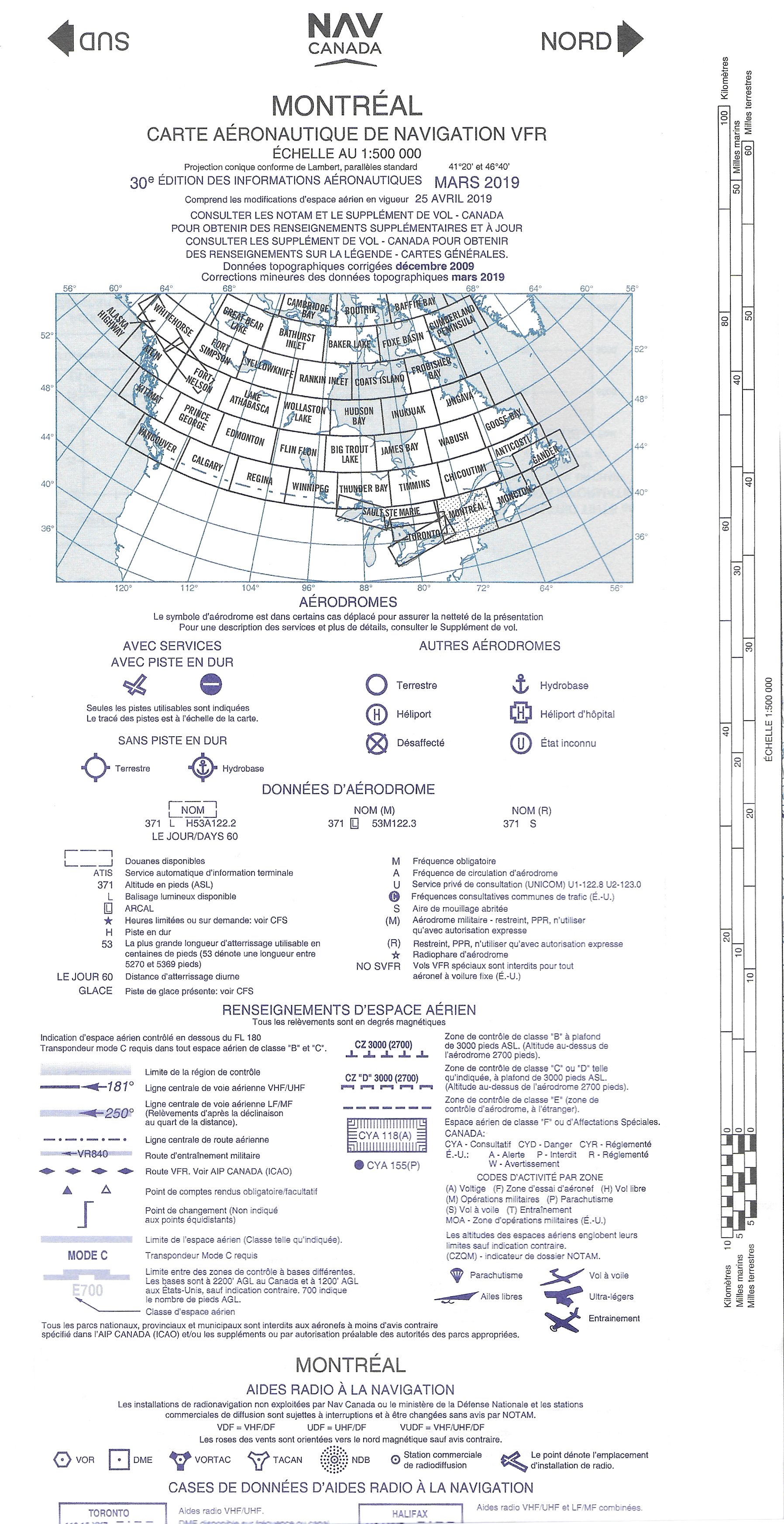
Question 65-1 : According to the map extract shown on the screen, messier aerodrome is. 46 ? [ Students operation ]
A land restricted aerodrome.
Question 65-2 : According to the map extract shown on the screen, the aerodrome located in the red circle indicates the presence of. 47 ?
An abandoned aerodrome.
Question 65-3 : According to the map extract shown on the screen, the circle with a u inside indicates. 46 ?
Question 65-4 : According to the vnc map extract shown on the screen, the direction and the distance between three hills aerodrome and drumheller aerodrome are. 48 ?
Question 65-5 : Time and longitude...during radiocommunications, to express time, the following clock system should be used ?
Question 65-6 : Time and longitude...during summer, difference between utc and pacific standard time pst is 7h. when it is 11h utc, pst is ?
Question 65-7 : Time and longitude...the primary time scale used for aviation is ?
Question 65-8 : Time and longitude...difference between utc and eastern standard time est is 5h. at noon est , utc time is ?
Question 65-9 : Time and longitude...difference between utc and pacific standard time pst is 7h during summer. at noon pst , utc time is ?
Question 65-12 : Indicate the statement that describes the risk of using a remotely piloted aircraft when the planetary kp index is at 5 ?
Question 65-13 : Indicate the airspace s where a pilot can use a small remotely piloted aircraft in basic operations ?
All the uncontrolled airspace.
Question 65-15 : What does the acronym vta stands for ?
Vfr terminal area charts.
~
Exclusive rights reserved. Reproduction prohibited under penalty of prosecution.
959 Free Training Exam

